Advanced OSM for Toolset Maps
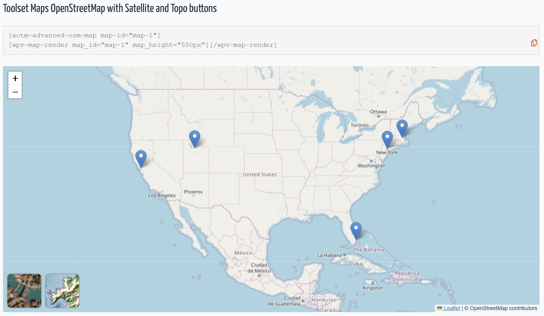
Default OpenStreetMap view with Satellite and Topo buttons.
Supercharge Toolset Maps with professional OpenStreetMap features that go beyond the basic core implementation.
While Toolset Maps provides a foundation for OSM, this plugin enhances the experience with advanced visualization and data tools, now fully integrated with the WordPress Block Editor.
🧱 Gutenberg Blocks
Forget about complex shortcodes. Version 4.0 provides a modern, visual workflow:
* Advanced OSM Map Block: Configure satellite/topo views, clustering, and tracks visually in the sidebar.
* Dynamic Track Loader Block: Easily link Toolset File Fields (KML/GPX) to your maps within Query Loops or Content Templates.
🛰️ Satellite & Topography Views
- Satellite: High-resolution Esri satellite imagery.
- Topography: OpenTopoMap integration for outdoor and adventure maps.
- Smart Toggles: Interactive front-end buttons to switch between layers.
🔵 Pro Clustering
Customize the cluster color to match your brand and set precise zoom thresholds for declustering.
📍 KML & GPX Support
Visualize tracks, routes, or shapes. Load files in three ways:
1. Media Library: Select multiple files directly from your WordPress media.
2. Direct URLs: Paste manual KML/GPX links.
3. Dynamic Fields: Use a Toolset File Field slug to pull tracks from your custom posts.
🎨 Custom Styling & Layers
- Grayscale Mode: Apply “silver” or “muted” styles to standard maps.
- Layer Management: Toggle roads and labels independently on satellite views.
- Subfolder Compatible: Optimized for WordPress installations in subdirectories.
Check DEMOS
Check author page wp-customtypes.com
Shortcode Examples
Basic Map with Topo Button
[aotm-advanced-osm-map map-id=”map-1″ topo-button=”on”]
Satellite View with Roads
[aotm-advanced-osm-map map-id=”map-2″ satellite=”on” roads=”on”]
Dynamic Tracks via Custom Field
[aotm-advanced-osm-marker map-id=”map-4″ track-field=”my-gpx-field-slug”]
Full Shortcode Reference
[aotm-advanced-osm-map]
- map-id: (Required) Must match your Toolset map ID.
- satellite: “on” – Satellite as default layer.
- topo: “on” – Topography as default layer.
- satellite-button / topo-button: “on/off” – Toggle UI buttons.
- cluster: “on” – Enable custom clustering.
- cluster-color: Hex color (e.g., #f05a28).
- zoom-cluster: Level where clustering turns off (default 12).
- grayscale: 0.1-1 – Grayscale intensity.
- labels/roads: “on” – Show overlays on satellite.